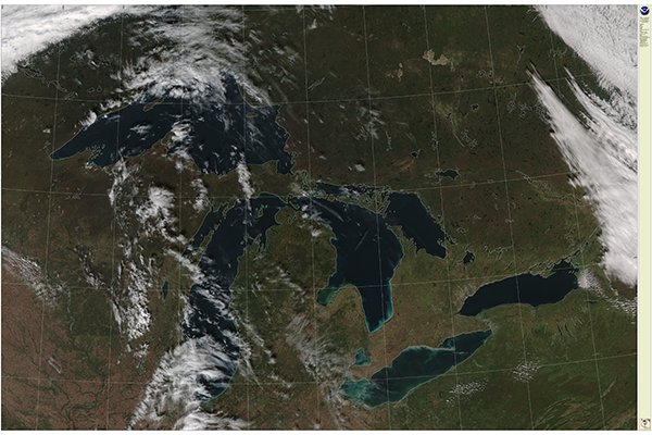
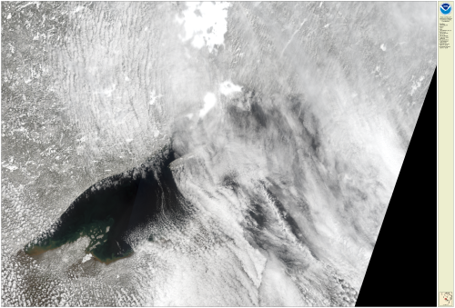
True color images look similar to a “photograph” of the earth and lakes from a space-borne satellite perspective. The Great Lakes CoastWatch node hosts satellite images from the following instruments:
- Suomi National Polar-Orbiting Partnership spacecraft (VIIRS S-NPP)
- NOAA-20’s Visible Infrared Imaging Radiometer Suite sensor (VIIRS NOAA-20)
- Moderate-Resolution Imaging Spectroradiometer (MODIS) on-board the NASA Earth Observing System (EOS) Aqua and Terra satellite
- European Sentinel 3-a Ocean and Land Colour Instrument (OLCI).
Available satellite products for true color imagery:
VIIRS True Color Imagery
The resolution of the VIIRS true color imagery was 375 m/pixel, the data provider at University of Wisconsin-Madison re-gridded the imagery to 250 m/pixel.
MODIS True Color Imagery
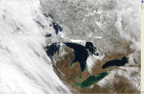
The resolution of the MODIS true color imagery is 250 m/pixel.
OLCI True Color Imagery
The resolution of the OLCI true color imagery is 300 m/pixel.