


Image attribution
Images in this billboard are used with the permission of Mark Edlund, Science Museum of Minnesota.
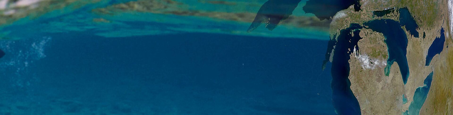
NOAA CoastWatch: Great Lakes Node
Delivering environmental data and products for near real-time observation of the Great Lakes.Services provided
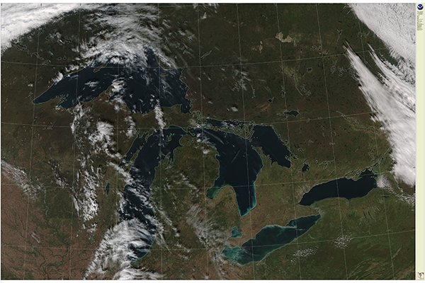
CoastWatch data are used in a variety of ways, including near real-time observation and tracking of algal blooms, plumes, ice cover, wind, water intake temperatures at fish hatcheries, two and three dimensional modeling of Great Lakes physical parameters such as wave height and currents damage assessment modeling, research, and educational and recreational activities.
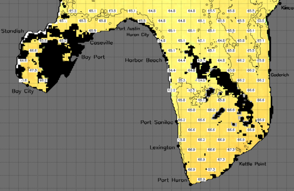
In addition, through a cooperative project with Michigan Sea Grant, Great Lakes CoastWatch satellite-derived surface temperature imagery is contoured and made available via Michigan State Sea Grant’s web site. Great Lakes CoastWatch data and products benefit riparians as well as commercial and recreational users.

Featured services
True Color
SST Contour Maps
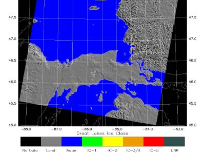
Ice Products
Who we are

James Kessler
Node Manager
Research Physical Scientist
Remote Sensing Lead

Songzhi Liu
Operations Manager
Programmer Analyst