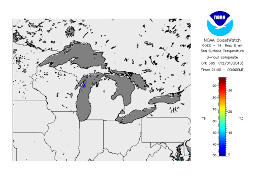
Sea surface temperature, or lake surface temperature, is used to understand how the lake communicates with the Earth’s atmosphere. SST also provides fundamental information on our climate system and the link between broader earth system climate change. It is an essential parameter in predicting weather, modeling the atmosphere, and measuring shifts in our ecosystems. Passive observations are made with infrared (IR) sensors onboard multiple polar-orbiting and geostationary platforms, and microwave sensors onboard polar platforms.
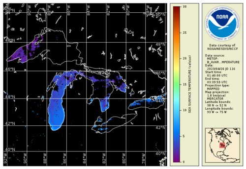
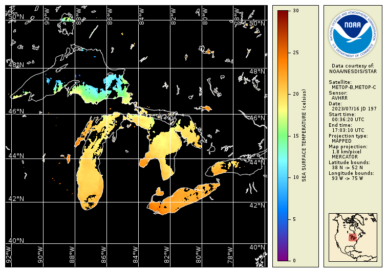
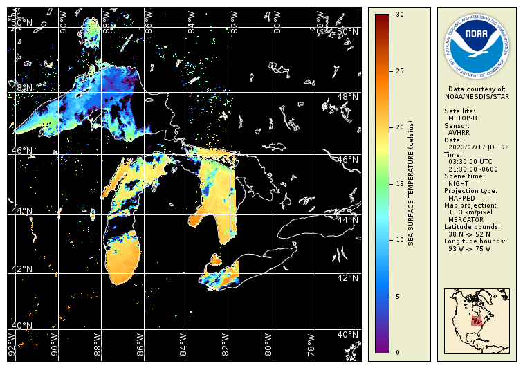
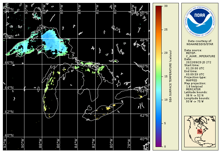
Satellite SST is measured by NOAA’s Advanced Very High Resolution Radar (AVHRR), Visible Infrared Imaging Radiometer Suite onboard the Suomi National Polar-Orbiting Partnership spacecraft (VIIRS S-NPP), NOAA-20’s Visible Infrared Imaging Radiometer Suite sensor (VIIRS NOAA-20), and Meteorological Operational (MetOp) A, B and C satellites.
Available satellite products for SST:
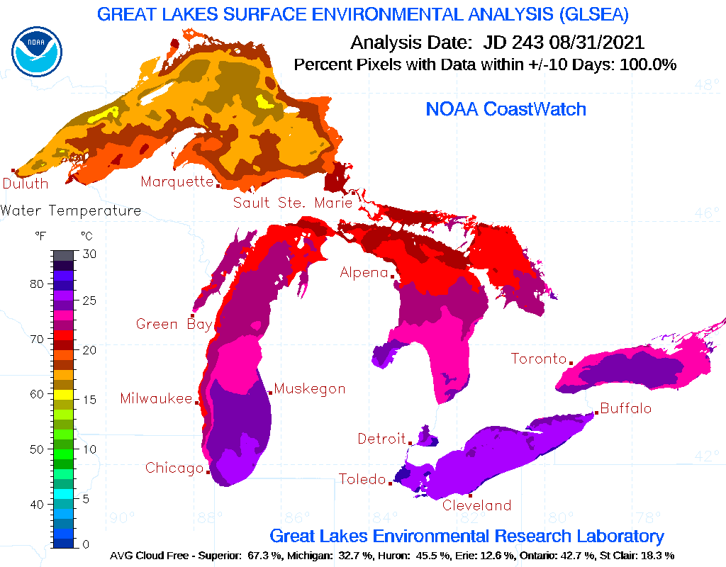
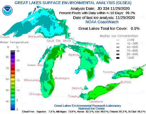
Great Lakes Surface Environmental Analysis (GLSEA)
Lake Surface Temperature Statistics
Advanced Very High Resolution Radiometer (AVHRR)
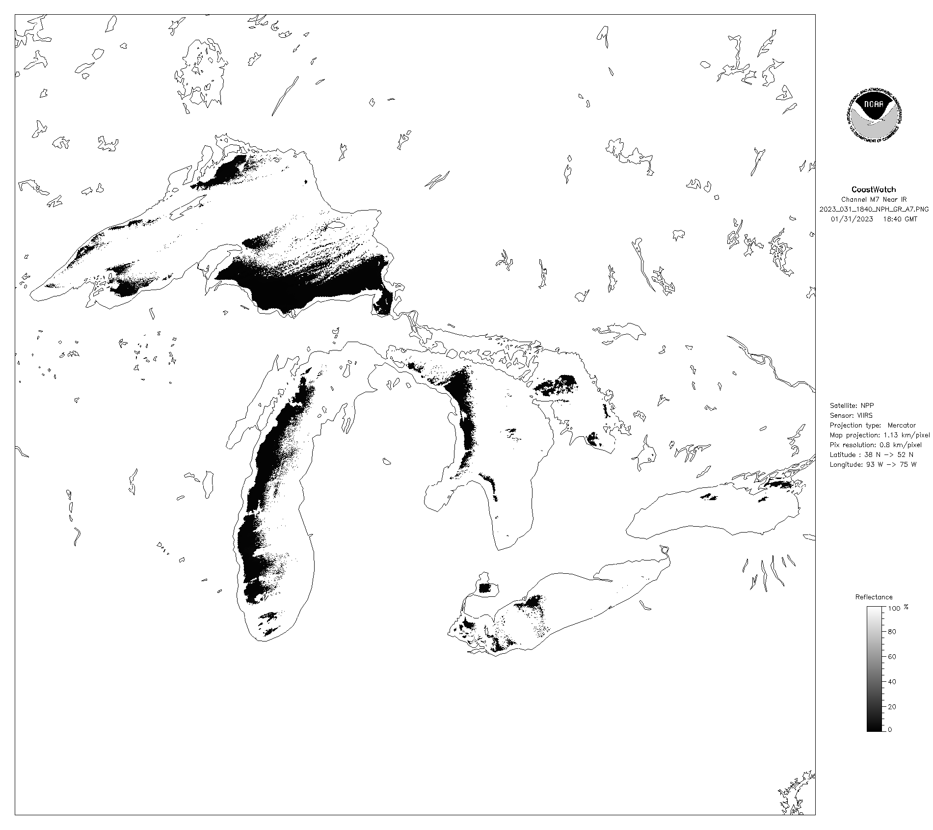
Visible Infrared Imaging Radiometer Suite (VIIRS)
Advanced Clear Sky Processor L3S SST (ACSPO L3S)
ACSPO near real time (NRT) SST
ACSPO Daily Merged SST
GOES-16 SST
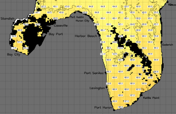
Contour SST Maps by Port Region