

Image attribution
Images in this billboard are used with the permission of Mark Edlund, Science Museum of Minnesota.

NOAA CoastWatch: Great Lakes Node
Delivering environmental data and products for near real-time observation of the Great Lakes.SST Data Availability Limited
Due to an update to the servers at NOAA’s central processing division, sea surface temperature data will be intermittent. During these data gaps, please refer to the modeled sea surface temperatures. We appreciate your patience.
Uncrewed Aircraft System Notice:
NOAA/GLERL will be operating our small uncrewed aircraft systems (sUAS) at altitudes of up to 400 feet above ground level. Specific locations are determined on a case-by-case basis. During these flights, the sUAS will be in technical compliance with PII information collected in accordance to the presidential memorandum “Promoting Economic Competitiveness While Safeguarding Privacy, Civil Rights, and Civil Liberties in Domestic Use of Uncrewed Aircraft Systems.” We will publish the locations of the flights at a later date.
Services provided
CoastWatch data are used in a variety of ways, including near real-time observation and tracking of algal blooms, plumes, ice cover, wind, water intake temperatures at fish hatcheries, two and three dimensional modeling of Great Lakes physical parameters such as wave height and currents damage assessment modeling, research, and educational and recreational activities.
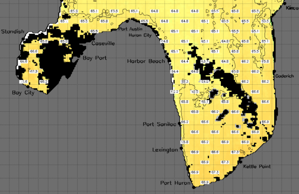
In addition, through a cooperative project with Michigan Sea Grant, Great Lakes CoastWatch satellite-derived surface temperature imagery is contoured and made available via Michigan State Sea Grant’s web site. Great Lakes CoastWatch data and products benefit riparians as well as commercial and recreational users.

Featured services
True Color

SST Contour Maps

Ice Products

Who we are

James Kessler
Node Manager
Research Physical Scientist
Remote Sensing Lead

Songzhi Liu
Operations Manager
Programmer Analyst
